Organizations (1)
Treepedia is developed by the MIT Senseable City Lab and aims to raise awareness of urban vegetation improvement using computer vision techniques applied to Google Street View images. The interactive website uses Google Street View data to measure the urban "Green Canopy," or the aboveground portion of trees and vegetation in cities around the world. Treepedia allows users to view the location and size of their city's trees, submit information to help tag them, and advocate for more trees in their area. Through monitoring urban tree coverage, citizens and planners can see which areas in their city are green and not green, compare their green canopy with other cities, and play a more active role in enhancing their local environment.
Treepedia is developed by the MIT Senseable City Lab and aims to raise awareness of urban vegetation improvement using computer vision techniques applied to Google Street View images. The interactive website uses Google Street View data to measure the urban "Green Canopy," or the aboveground portion of trees and vegetation in cities around the world. Treepedia allows users to view the location and size of their city's trees, submit information to help tag them, and advocate for more trees in their area. Through monitoring urban tree coverage, citizens and planners can see which areas in their city are green and not green, compare their green canopy with other cities, and play a more active role in enhancing their local environment.
Top causes
Projects supported (18)
NUGAAL VALLEY DRYLANDS RESTORATION -SOMALIA
Dryland Solutions$548.00by14donors, matching calculating
I CARE: Indigenous Conservation, Agroecology, and Restoration of Ecosystems
Nature Sacredness and Cultural Rights Initiative (NASACURI)$430.00by19donors, matching calculating
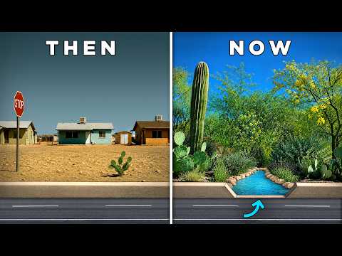
PLANT THE RAIN - Water-Harvesting Native Food Forest Fund Raiser
Dunbar Spring Neighborhood Foresters$24,925.00by326donors, matching calculating